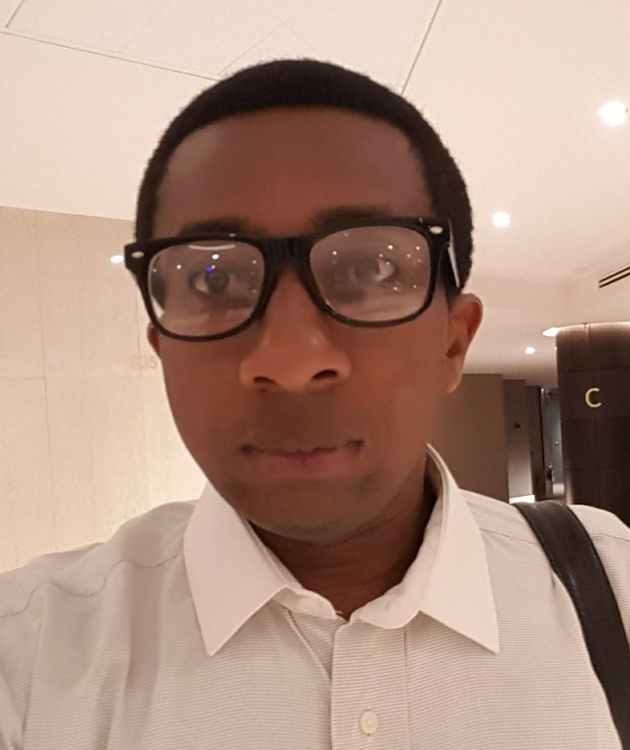
Mr. Chukwuemeka O. Ulor

Mr. Chukwuemeka O. Ulor

assistant lecturer

BSc., MSc.
Email: 

Biography


Chukwuemeka Ulor is a Geographer and climate scientist. He studies weather and climate trends in order to better understand how they impact our environment and possible changes in the future.

Ulor’s research interests cut across climate change, environmental management, accessible environment, urban future, digital mapping and sustainable development. He is also interested in Climate Futures visualization; This involves the use of emerging technology like 360 Photography, Augmented Reality (AR), Extended Reality (XR), Virtual Reality (VR) and Virtual Environments (VE).

Ulor is Google Maps expert with over five years active participation in Street View, Road Mapper and Accessibility. He is also a moderator for Google Maps where he supports over 150 million volunteers to make maps useful and helpful for millions of users including persons with disabilities.

In 2019, Chukwuemeka Ulor received a certificate of commendation from the United Nations Environment Programme for his activities towards ending plastic pollution. In 2019 & 2018, Google invited him to its headquarters in California to share his experience and ideas to make maps better for users.

Ulor is a founding member of the Center of Sustainability Studies at the Federal University of Technology Owerri (FUTO).


Academic Qualification

MSc Geography & Planning (Climatology), University of Lagos, Nigeria.


BSc Geography & Environmental Management, Imo State University, Nigeria

Certificate in Climate Change, Communication and Action, Cornell University, U.S.A


Honours/Awards

The Pollination Project Grant (2019)

Awarded a grant to establish a mini library for underserved rural children in Imo, Nigeria.


Climate Tracker International (2016)

Among 12 candidates selected across the world for one month fellowship – researching, writing, editing and publishing environmental topics, as a side event of the UNCC (COP25).


Affiliations

Nigerian Cartographic Association

Nigerian Environmental Society

Association of Nigerian Geographers

American Association of Geographers

Courses Assigned to Teach


Research Interest

Climate Change, Environmental Management, Digital Mapping, Accessible Environment, Sustainability, Geography

Publications

Nwachukwu, M. A., Nwachukwu, J. I., Anyanwu, J., Ulor, C.O., Okorondu J., Acholonu C. (2023) : A Model of Sustainability Education and Partnership to Achieve SDGs in the sub-Saharan Africa. Journal of Sustainability Education. Accepted

Akamuga, A. V., Ogbonnaya, U. I., & Ulor, C. (2022): Analysis of Rainfall Trend and Pattern in Owerri, Imo State, Nigeria. International Journal of Environment and Climate Change, 12(12), 926-935. https://doi.org/10.9734/ijecc/2022/v12i121532

Iwuji, M.C.,Cajetan, N.C., Ukaegbu, K.O., Diagi, B.E., Duru, C.C., Ugwuanyi, M.K., Ekevwe,I. and Ulor, C.O (2022): Spatial Assessment of Temperature, Rainfall and Land Cover Changes as Climate Change Monitoring Techniques in Okigwe and Its Environs. International Journal of Environment and Climate Change, Volume 12 (11), pp. 3042-3055.

Okorondu, J., Umar,N.A., Ulor, C.O, Onwuagba, C.G, Diagi, B. E., Ajiere, S.I and Nwaogu, C. (2022): Anthropogenic Activities as Primary Drivers of Environmental Pollution and Loss of Biodiversity: A Review. International Journal of Trend in Scientific Research and Development (ijtsrd), ISSN: 2456-6470, Volume-6 | Issue-4, pp.621-643

Agidi, V.A; Ogah, H; Ulor, C. & Godfrey, T. (2022): Diurnal Temperature Range as Index of Climate Change in Lafia, Nasarawa State, Nigeria. Journal of Applied Sciences and Environmental Management. ISSN: 1119-8362, Volume- 26 | Issue-2, pp.233-236

Nwaogu, C., Ulor, C.O., Umar, N.A., Diagi, B.E., Okorondu, J., Agidi, V., Ameh, A.Y., Chikwendu, L., Alabi, B. and Uyo, C. (2021): Promoting Precision Agriculture and SDG-2 By Mapping 3 Decades of Crop Production and Its Potential Drivers. Nigerian Cartographic Association. Lagos, Nigeria

Ulor, C.O & Nwaogu, C. (2021): Inclusive Cartography: Making Accessible Maps for Persons with Disabilities in Nigeria. Nigerian Cartographic Association. Lagos, Nigeria


Research/Publication Links

ORCID: https://orcid.org/0000-0003-2336-0140

Research Gate Profile URL: https://www.researchgate.net/profile/Chukwuemeka-Ulor

Google Scholar Page:https://scholar.google.com/citations?hl=en&user=0j2L9L4AAAAJ